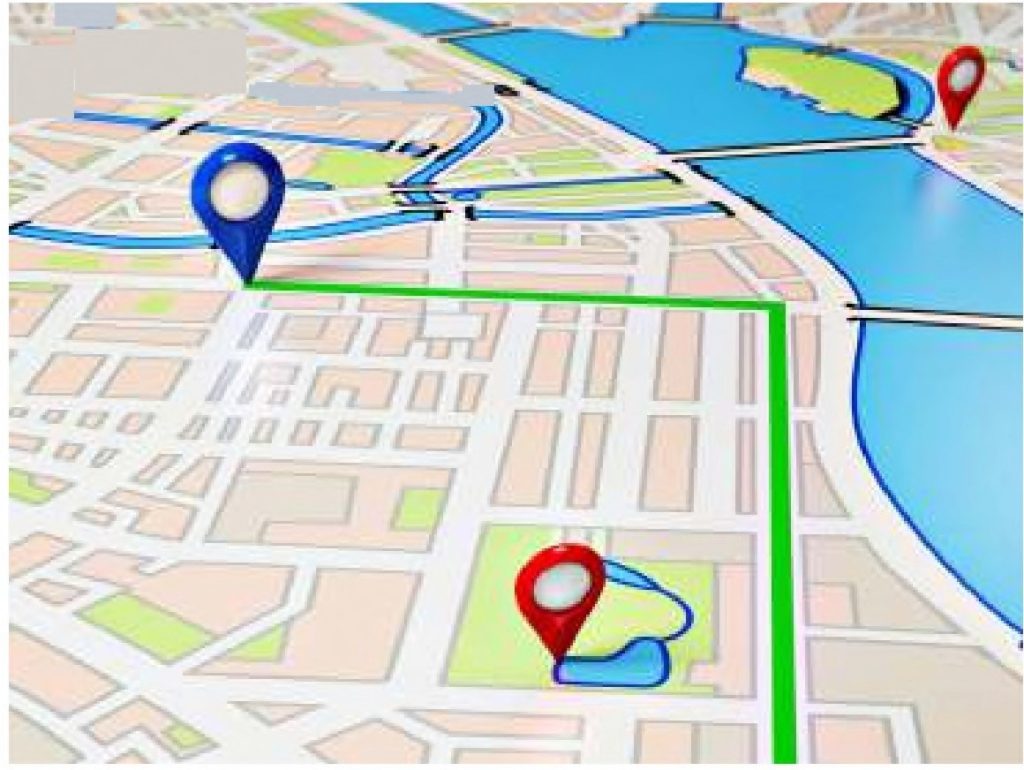
With our solution we can enable GIS mapping at town, streets and country level. GIS Mapping is an on-the-go solution which allows creation of layers of roads, properties, point of interests for urban development, proper navigation systems and general public. With GIS you can easily locate a particular street, capture and check out buildings and display different locations, map and chart production, data extraction, analyze patterns and understand relationships.